3. Mobile Traffic Sensors

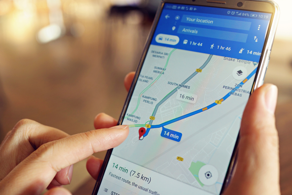
Ever wonder how your phone knows exactly which streets are busy and which aren’t? When you use Google Maps it’ll give you a couple of routes from point A to point B, specifying which is faster. Oftentimes, these estimates are strangely accurate.
You might not be aware of it, but if you’re using an Android phone then you’re helping them figure out both the estimated time of arrival and whether or not a particular street is jammed.
If the software detects several phones in an area that don’t seem to be moving or are moving at an extremely low pace then it’ll highlight that section of the road as jammed. If those same phones suddenly start moving with ease and become further apart, it’ll show up as clear on your map.
Simon Weckert, a German artist, decided to manipulate this system earlier in 2020. His plan was simple, simply carry 99 phones around Berlin and watch as every street turned from green (smooth sailing! continue on your path) to red (traffic! avoid!) even when the streets were virtually empty.
All it took was one cart that he pulled along without anyone batting an eyelid. Even Google was nonethewiser despite the fact that Weckert actually walked in front of the company’s headquarters in Berlin.
But how did google reply when the artist’s ingenious plan went viral online? They simply said, “Whether via car or cart or camel, we love seeing creative uses of Google Maps as it helps us make maps work better over time.”
So just remember that the next time you’re talking or driving around town you’re actually feeding a massive database without even seeing a penny…


